
Popular Motor Trails
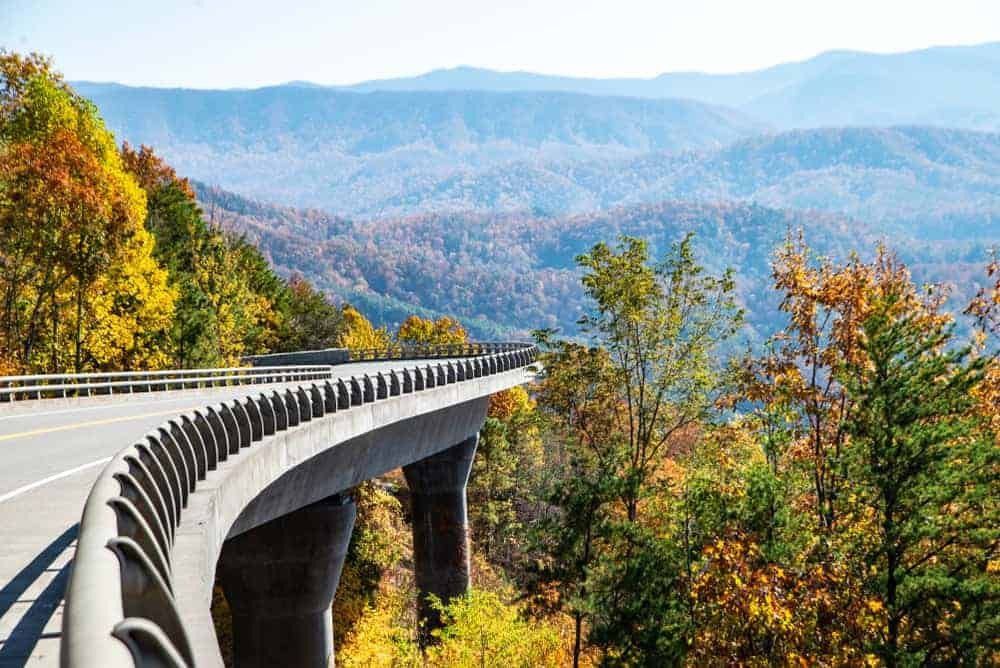
Scenic Drive along the Foothills Parkway
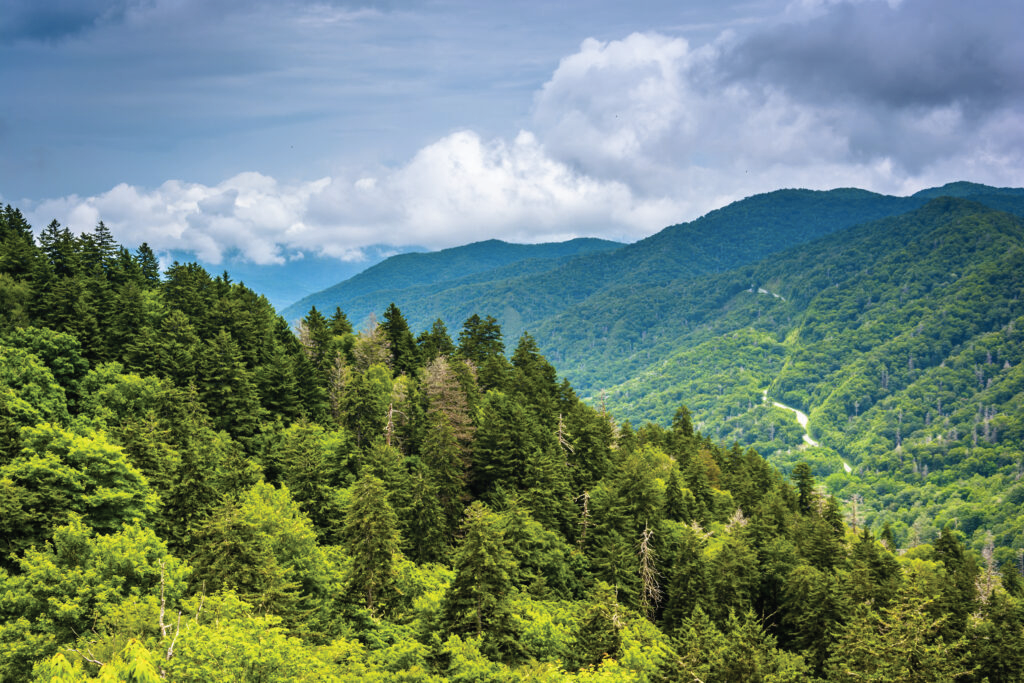
The Foothills Parkway is a national parkway that traverses the foothills of the northern Great Smoky Mountains in East Tennessee, located in the southeastern United States. The 72.1-mile (114 km) parkway connects U.S. Route 129 (U.S. 129) along the Little Tennessee River in the west with Interstate 40 (I-40) along the Pigeon River in the east.
Portions pass through parts of Blount, Sevier, and Cocke counties. Large sections cross a series of high ridges running roughly parallel to the Tennessee boundary of Great Smoky Mountains National Park and offer unobstructed views of the Smokies to the south and the Tennessee Valley to the north.
This section is known as the "Missing Link" and stretches 16 miles featuring breathtaking views with multiple overlooks to take photos and enjoy the scenery.
History
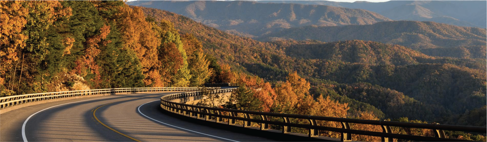
In the late 1960s, crews finished a couple of sections of the parkway. On the eastern end, there’s a 5.5-mile portion that was completed from Interstate 40 to Cosby. On the opposite end, drivers have long enjoyed the 17-mile stretch in Blount County that runs from U.S. 129 to Walland.
Crews spent a couple of decades working on a 16-mile segment from Walland to Wears Valley and nearly finished it. But right in the middle, the construction hit rugged peaks and valleys too tough to overcome. The walls they built crumbled and the soil was filled with minerals that caused environmental damage.
With all of those problems and funding shortfalls, the project was placed on the backburner in 1989. Crews called it quits and left behind a 1.65-mile gap in the road that became known as "the missing link."
The on-again-off-again construction lingered until 2009 when federal stimulus money put the project back in the fast lane.
In November 2018, the Missing Link of the Foothills Parkway opened to the public.

Directions
From Gatlinburg head into the National Park at traffic light #10. Turn right onto Little River Road next to the Sugarlands Visitor Center. Go approximately 9.5 miles and turn right onto Wear Cove Gap Road to Wears Valley Rd. Make a right and the Foothills Parkway entrance will be on the left.
Alternate Route: From Gatlinburg head south on US-441 N/Parkway towards Pigeon Forge approximately 8.5 miles. Turn left onto Wears Valley Rd for 8.3 miles then turn right onto Foothills Parkway.
Cades Cove
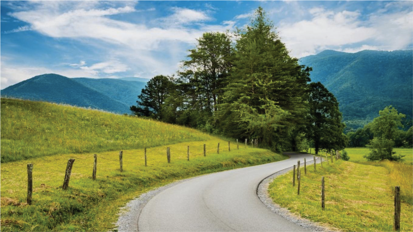
Cades Cove
Cades Cove is one of the most popular routes in the Great Smokies, with views of a broad valley and surrounded by mountains. This 11-mile one-way loop circles the cove so you can sightsee at a leisurely pace.
If you are lucky, you can catch views of wildlife. This is a popular trail in summer, fall season, and on weekends so be courteous to other visitors and use pullover spots to enjoy the scenery and wildlife.
Clingmans Dome
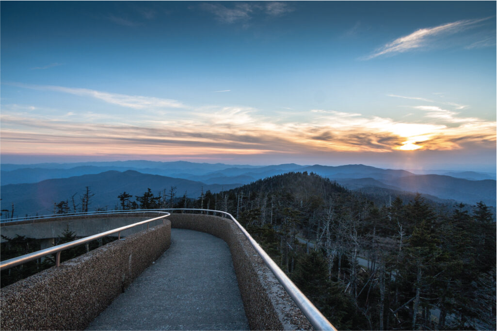
Clingmans Dome
Clingman’s Dome is the highest point in Tennessee at 6,643 feet above sea level, travel along the 7-mile stretch leads to the summit’s observation tower.
The roads are winding with views of mountain valleys, ridges and various woodland areas. Stop at the observation tower for the best views of the entire national park.
Newfound Gap
Newfound Gap
Another beautiful drive is the Newfound Gap and the lowest drivable pass in the national park. The elevation is 5046 feet; the scenic drive involves climbing up to 3000 feet and see mountains and woodlands that include pine-oak, evergreen spruce, and hardwoods.
The road travels 7 miles through the park’s center and is the only fully paved road in the national park.
Roaring Fork Motor Trail
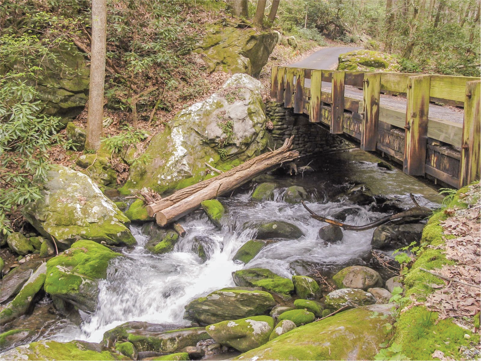
Roaring Fork Motor Trail
Roaring Fork Motor Trail is named for the large and fast-flowing mountain stream in the par; this narrow and winding road gives you views of rushing mountain streams, glimpses of old forests, historic buildings, traditional log cabins, and grist mills.
The road is a looped 5.5-mile-long, one-way, loop road and a favorite trip for many. Immerse in nature on this trail, which is no wonder why this is a favorite trail for many visitors.

 by
by